Manjira River: Map, Origin and Tributaries
The Manjira River, also known as Manjara or Manjeera, is a significant tributary of the Godavari River in India. It flows through the states of Maharashtra, Karnataka, and Telangana with a total length of approximately 724 km. Notably, it is in southern India and flows from west to east before merging with the Godavari River.
| Names | Manjira/ Manjeera / Manjara |
| Length | 724 km |
| Origin | Balaghat Range |
| Tributaries | Terna, Tawajara, Lendi |
| Dams | Singur Dam and Nizam Sagar Dam |
Table of Contents
Geographical Features of Manjira River
Origin and Course of Manjira
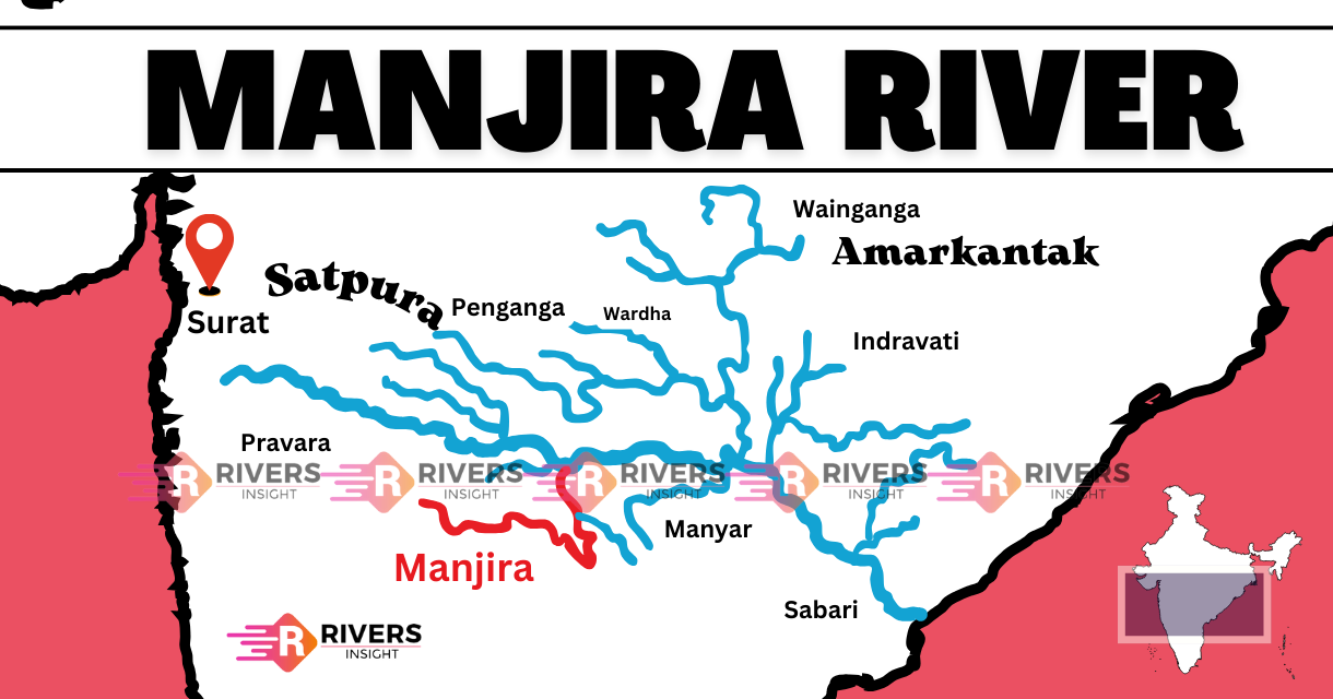
The Manjira River starts in the Balaghat Range of the Western Ghats in Maharashtra India. It begins in the Ahmednagar district at a height of about 823 meters (2,700 feet) above sea level. Further, the river runs for a total of around 724 kilometers before it meets the Godavari River.
The river then goes through the Medak District, including places such as Chillipched and Medak, before entering the Kamareddy District where it passes through Nizamsagar and Banswada.
In the Nizamabad District, it runs through Kotgiri and Renjal. Further, it also crosses the Latur District of Maharashtra and the Bidar District of Karnataka before coming back to Telangana.
In the end, it meets the Godavari River at Triveni Sangamam in Kandakurthy, Nizamabad district.
Map of Manjeera
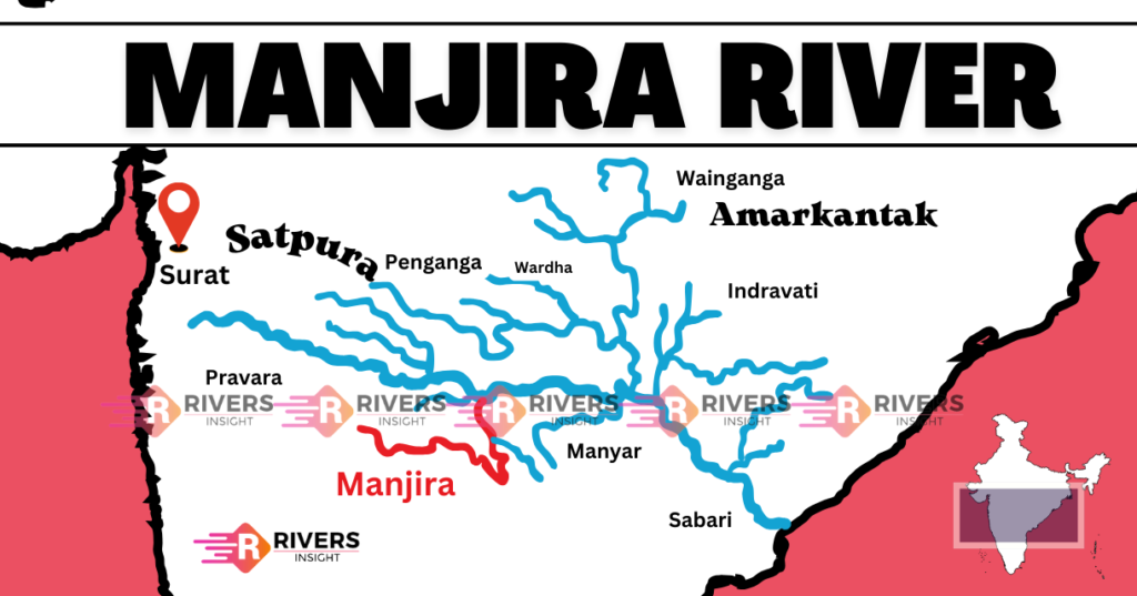
Drainage Area
The Manjira River drains a big area of about 30,844 square kilometers. This huge drainage basin covers parts of several states in India, including bits of Maharashtra, Karnataka, and Telangana. The area the river drains has a varied landscape that supports many different ecosystems.
Tributaries
- Terna River: Joining of the Manjira River at the Singur Dam upstream this place is beyond the project influence zone.
- Tawajara River: The confluence of the Manjira River upstream of the Singur Dam in the Medak district, not the area affected by the project influence area.
- Lendi River: The River rises from Udgir Taluka and runs through Ahmadpur Taluka. Then, it meets Manjira River and passes nearby Shelgaon in Nanded, Maharashtra.
Where does the Manjira River originate?
The Manjira River originates in the Balaghat Range of the Western Ghats, in the Ahmednagar District of Maharashtra, India. It begins at a height of about 823 meters above sea level.
How long is the Manjira River?
The Manjira River has a total length of approximately 724 kilometers, making it one of the significant rivers in southern India.
If you found this guide on the Manjira River helpful, feel free to share it with your friends or on social media! Do you have any questions about the Manjira River? Leave a comment below and let us know your thoughts.

